Identifier
Title
Description
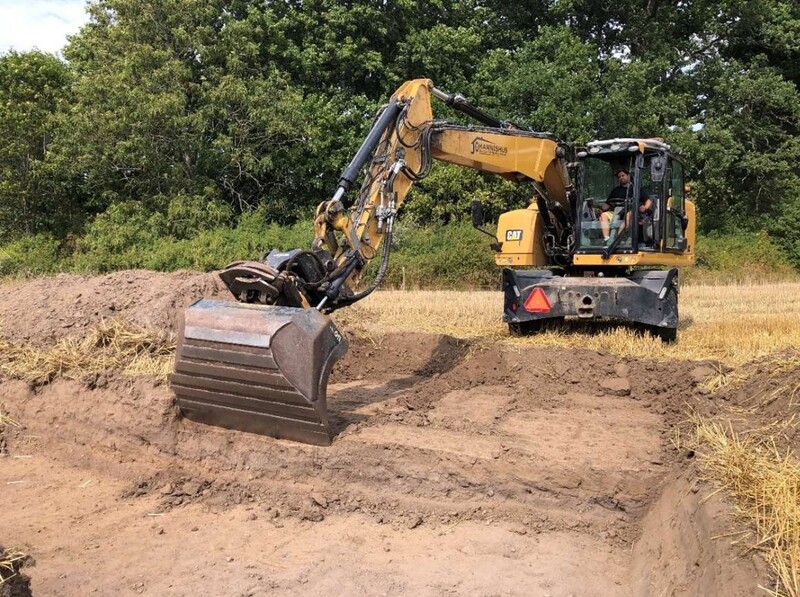
The total area excavated in the field south of the hill was 212 m2. Weather conditions for the period were extremely dry, resulting in a less distinct cleaning than in the neighbouring 2021 survey area. More than 15 new features, mainly in the form of postholes and hearths, were documented on the surface (Appendices 1 and 2), which seemed to indicate post-built buildings and structures of some kind as well as activities at the site. The structures were only cleaned down to the level of the preserved cultural layer in the eastern part of the trench. However, none of them were investigated. Linear stretches of different coloured sand were noted during the excavation, which were immediately identified as possible remaining traces of the older road past Vångs by (appendix 1: A777 and A778).
Diagnostic excavation down to sterile sub-soil was done in the central part of the trench, with the aim of getting a representative picture of the character and thickness of the cultural layer. The cultural layer consists of a dark grey to black, silty and in places heavily soot-covered sand, and the soil characteristics is the same in this area as in most other places on the settlement. As in 2021, no cultural layer was preserved in the northernmost part of the trench, but the feature horizon emerged here directly under a 0.30 - 0.35 m thick topsoil layer. On the slope to the south the thickness increased, so that in the centre of the trench it was about 0.4 m thick. Further south the layer thinned to about 0.15 m. Towards the west the microtopography gradually went upwards, so that only patchy, thin strips of cultural layers could be observed west of the interpreted road bank A778.
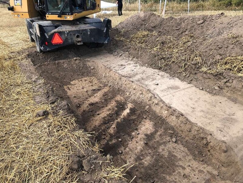
Features A777 and A778 appeared directly under the topsoil as a layer of light grey sand. Further cleaning, especially of A778, revealed that beneath the 0.20 m thick sand, parallel, 0.30-0.35 m wide strips of more humic sand appeared, mainly within a 5.0 m wide corridor in a NW-SE direction. On this claened level, single, iron nails (ron nails interpreted as being older than modern period) and heavily degraded iron fragments as well as a few pottery fragments were found. A narrow excavation was carried out by hand in A777 towards the northern edge of the trench (see picture on the front page of the report). This revealed that under a 0.35 m thick topsoil there was a level of light grey sand similar to that in A778. This was followed by a more compact layer of brownish grey silt, which at a depth of 0.7 m seemed to change into a dark brown silt with some small stones. This layer was up to 0.4 m thick and was followed by what was interpreted in the field as an undisturbed sterile subsoil. It should be emphasised that the narrow trench through A777 was dug by hand and under time pressure, so the results must be seen as partly hypothetical.
Interpretation
The interpreted direction of A777 and A778 is consistent with that of the older main country-side road, which is visible on older maps, but sometimes also as crop-marks and as lighter lines on aerial photographs. There is no doubt about this. The deeper part of the profile of A777 gave the impression of being a cultivated soil, which was emphasised by a prehistoric pottery find (Blm 29750:464). With the current state of knowledge it cannot be established whether this horizon represents an older sunken track, but it is a reasonable working hypothesis until a larger excavation by machine can be carried out at the site.
Finds
Finds were collected during the excavation by dry sieving or hand picking during fine cleaning of the strippe surface. Only 34 artefacts were surveyed to find point in the trench, and then exclusively in connection with the cultural layer in its northern part. These finds underlined the earlier interpretation of a sub-area within the settlement characterised by crafts and everyday activities. For example, a number of smithing hearth bottom (SHB), copper alloy melts were found, as well as several fragments of crucibles, loom weights and simple household pottery. The topsoil finds also corresponded with the finds that had previously been retrieved south of Vångkullen (Appendix 6).
Set 3DHop scene
Date Created
Rights Holder
License
Media (Images)
Linked resources
| VV2023 report 5 Trench A & B |


| Plane | Position | Flip |
| Show planes | Show edges |
0.0
[ 0 , 0 , 0 ]


