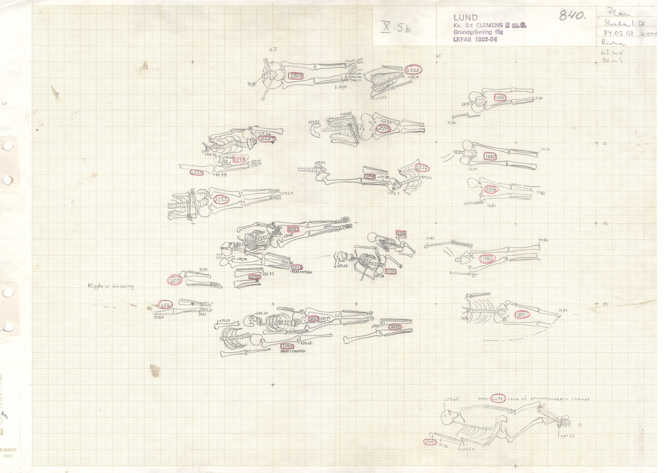
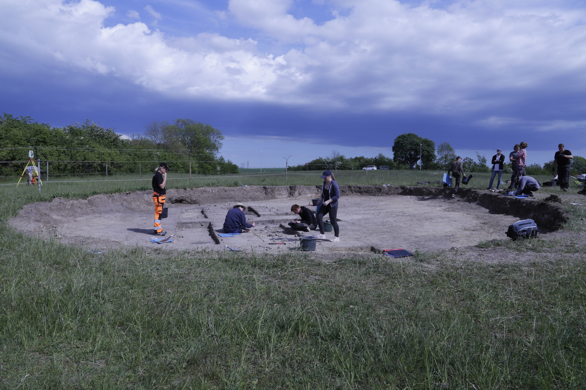
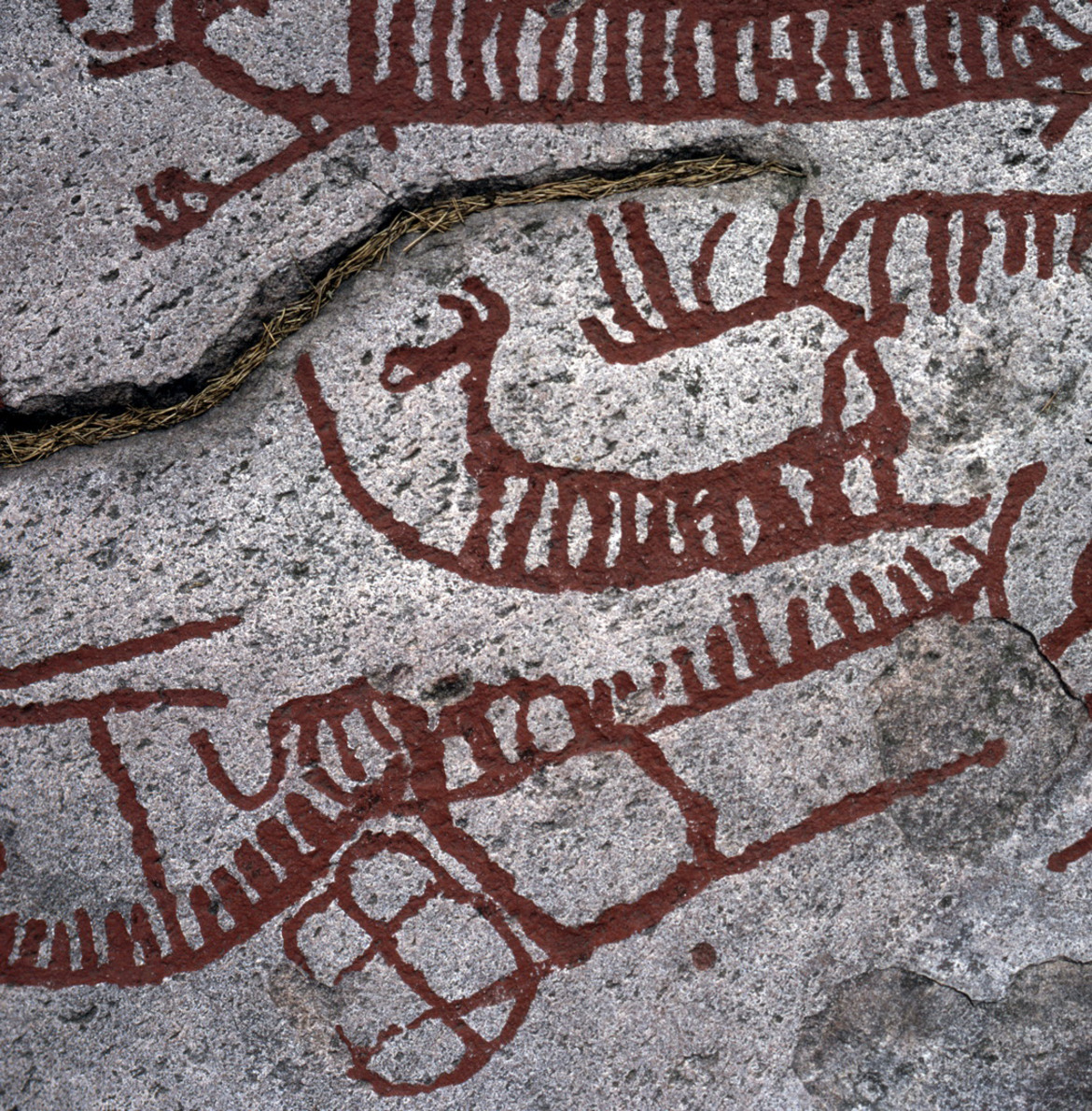
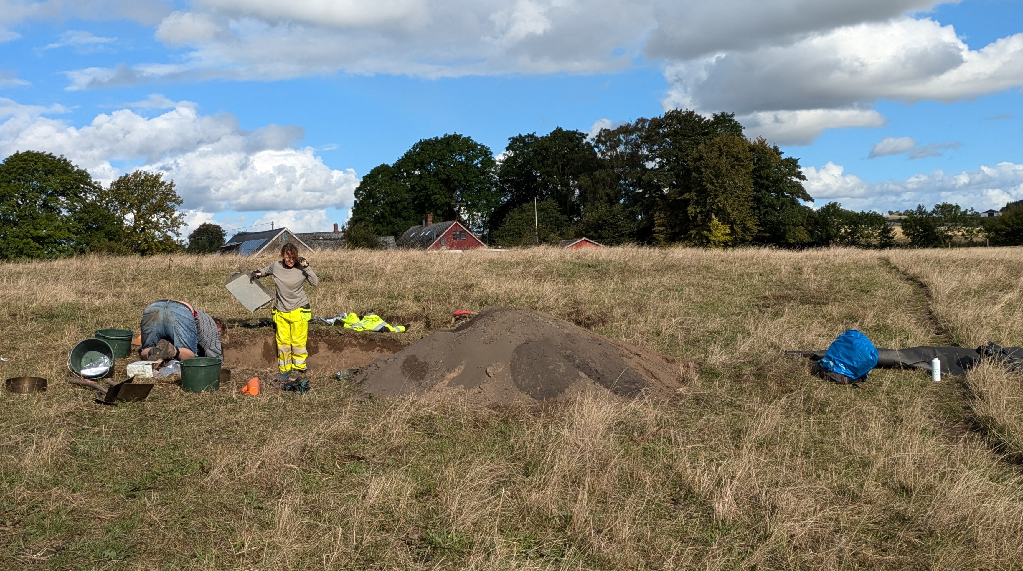
What is AIR?
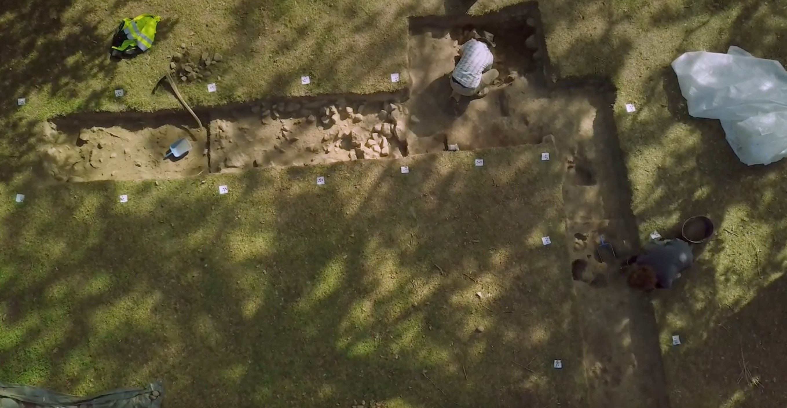
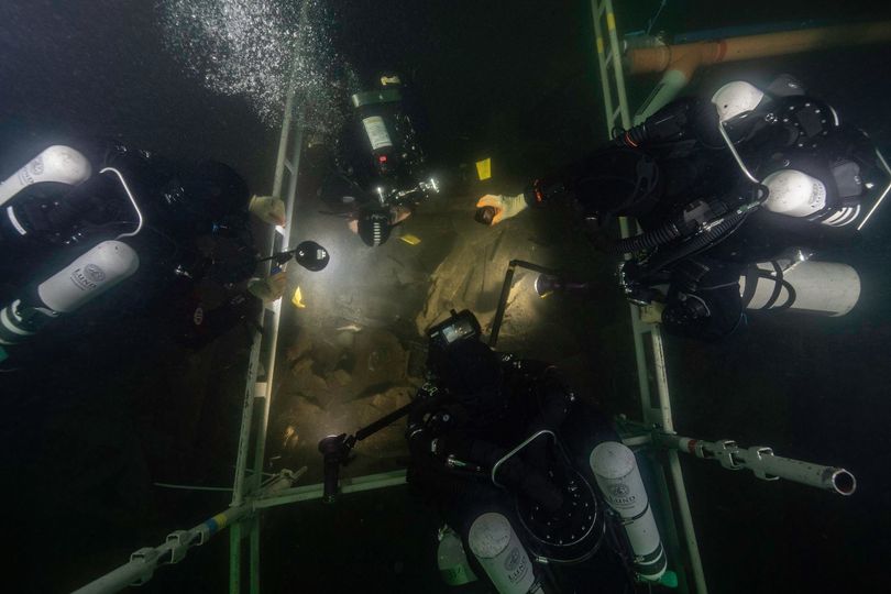
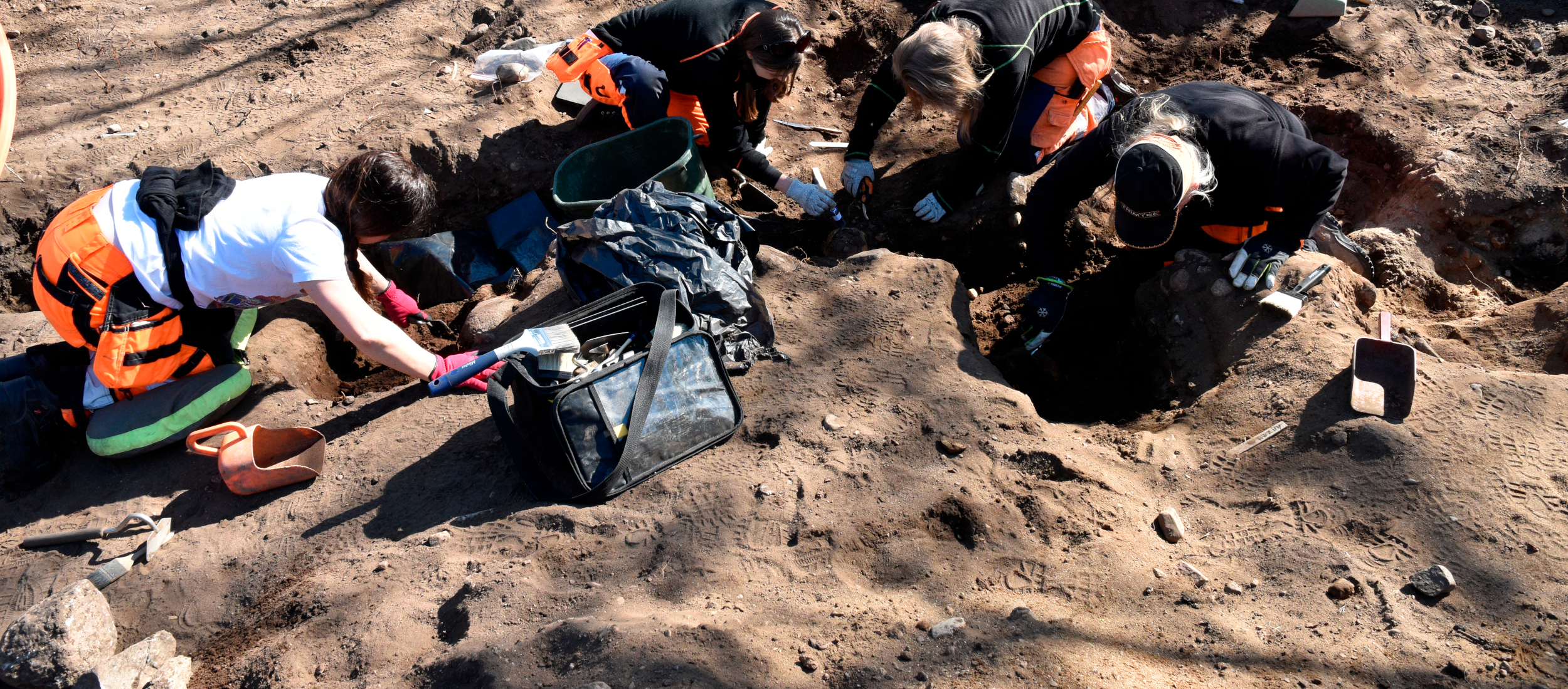
AIR is a web platform for archaeological investigation data which incorporates a 3D visualisation framework. It can integrate complete datasets for investigations, including geographical data, images, videos, 3D models, and associated metadata.
It can be used to record archaeological investigations in the field, manage and analyse data during post-excavation activities and compile legacy data from previous investigations. It is also a multimedia visualisation system that enables in-depth interaction with 3D content and multimedia assemblages, facilitating the testing of interpretive hypotheses. Finally, AIR is a publication platform for sharing descriptions and interpretive hypotheses in the form of 3D-based editorialised narratives, such as archaeological reports and popular science articles.
Please note that AIR is not a long-term repository.
To navigate AIR and explore the archaeological investigations documented using it, please refer to the AIR User Guide.