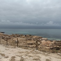
-
Identifier
en
TARP2024_J_682_SU15065-71
Type
en
terrain
Title
en
TARP2024 Job 682 Stratigraphic Unit 15065-71
Item represented
Investigation campaign
Investigation site
Dataset acquired by
Model format
en
nxz
Model measure unit
en
meter
Digitized by
Technique
en
IBM
Software
en
Agisoft Metashape
Dataset location
en
University of Cincinnati (US)
Date Created
June 10, 2025
Rights Holder
en
University of Cincinnati (US)
License
en
CC-BY 4.0
Other Media
Linked resources
| TARP2024 Stratigraphic Unit 15065 |
| TARP2024 Stratigraphic Unit 15067 |
| TARP2024 Stratigraphic Unit 15068 |
| TARP2024 Stratigraphic Unit 15066 |
| TARP2024 Stratigraphic Unit 15069 |
| TARP2024 Stratigraphic Unit 15070 |
| TARP2024 Stratigraphic Unit 15071 |
| TARP2024 Trench 15000 |


| Plane | Position | Flip |
| Show planes | Show edges |
Measured length
0.0
0.0
Coordinates
[ 0 , 0 , 0 ]
[ 0 , 0 , 0 ]
Trackball position


